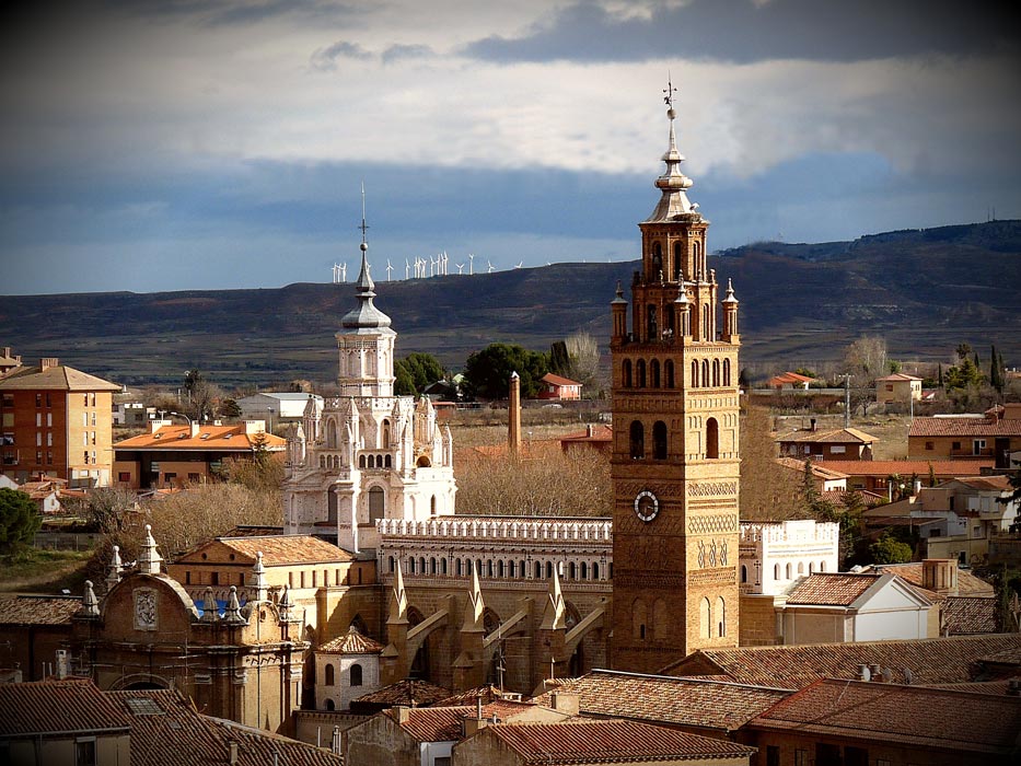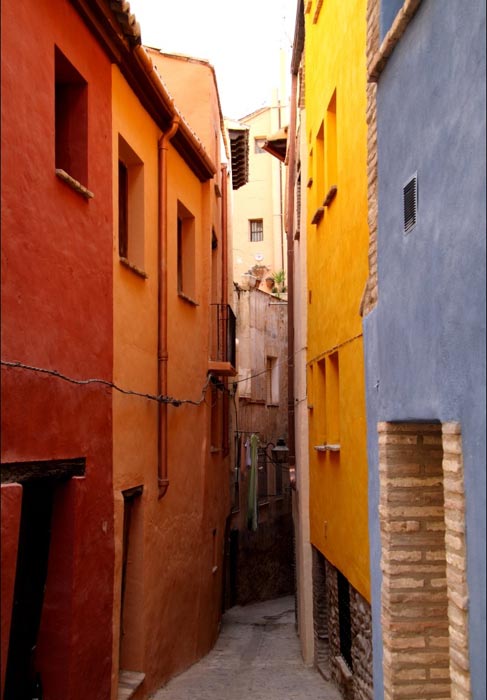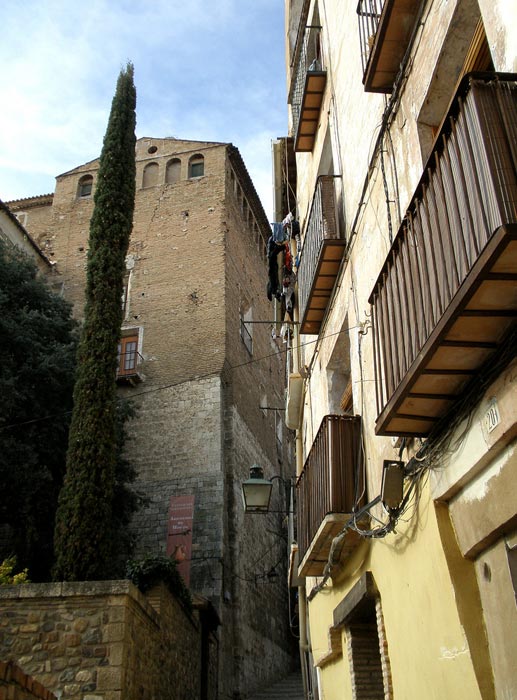
The name Old Jewish Quarter was coined in the 15th century in contrast to the New. During the Late Middle Ages, from the end of the wars between Castile and Aragón (1357-1369) until the time of the expulsion, the Jewish community of Tarazona occupied an urban area near the Zuda fortress, the prime symbol of Moslem power and then of Christian power. In the last three decades of the 14th century the district was extended between the exterior of the city barbacan, the Selcos irrigation ditch and the Zuda. This area can be specified more precisely thanks to two documents: the purchase agreement carried out in 1376 by Fernando Pérez Calvillo pertaining to the several properties owned by Jordán Pérez de Urries, including twenty one censos on properties in the Jewish quarter and the donation made by said clergyman and his brother Bishop Pedro, in favour of the city for a slightly greater figure. Both texts record the limits of the Jewish quarter between the city barbacan, the Selcos irrigation ditch, the crag of the Zuda, the market and the gate of the city. This solace corresponds to the streets currently called Juderia, Alta street, Aires street, Baja street and Arcedianos square.
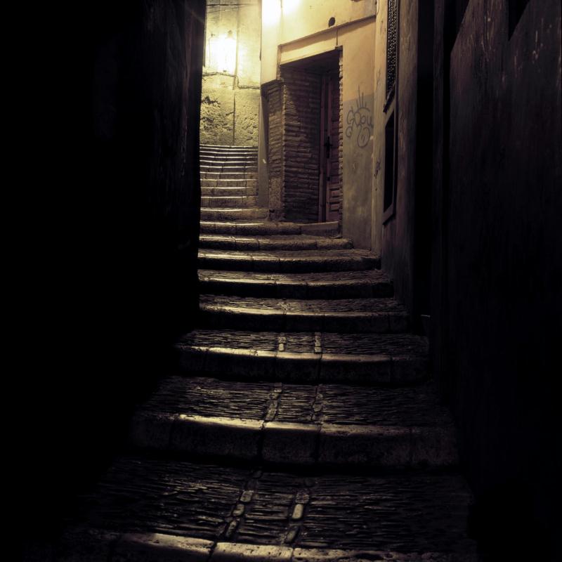
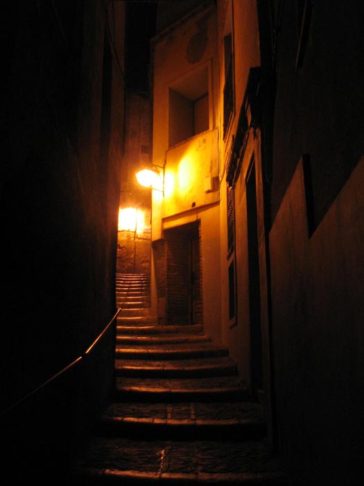
The enclosure of this Old Jewish quarter, closed off at the Selcos irrigation ditch, can be accessed by several gates. There is documentary evidence for those located at Nueva Square (the current España square) at the intersection of the Juderia and Aires streets with España square and the so-called Porticiella on the road between the Zuda and the Selcos irrigation ditch known as Baja street, on the lower stretch occupied until recently by a tower of the wall which enclosed the so-called Cubo mill. Under the Zuda, on Alta street, opposite the Tarazona Study Centre, there was a third gate.
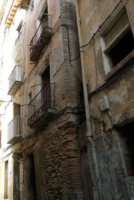
The northern limit is marked out by the barbacan which is situated on Conde street at the rear of which there are a series of overhanging constructions called (Hanging Houses) and occupied by the lower nobility and lineages like the los López de Gurrea, Señores de Torrellas, los Fayos and Santa Cruz.
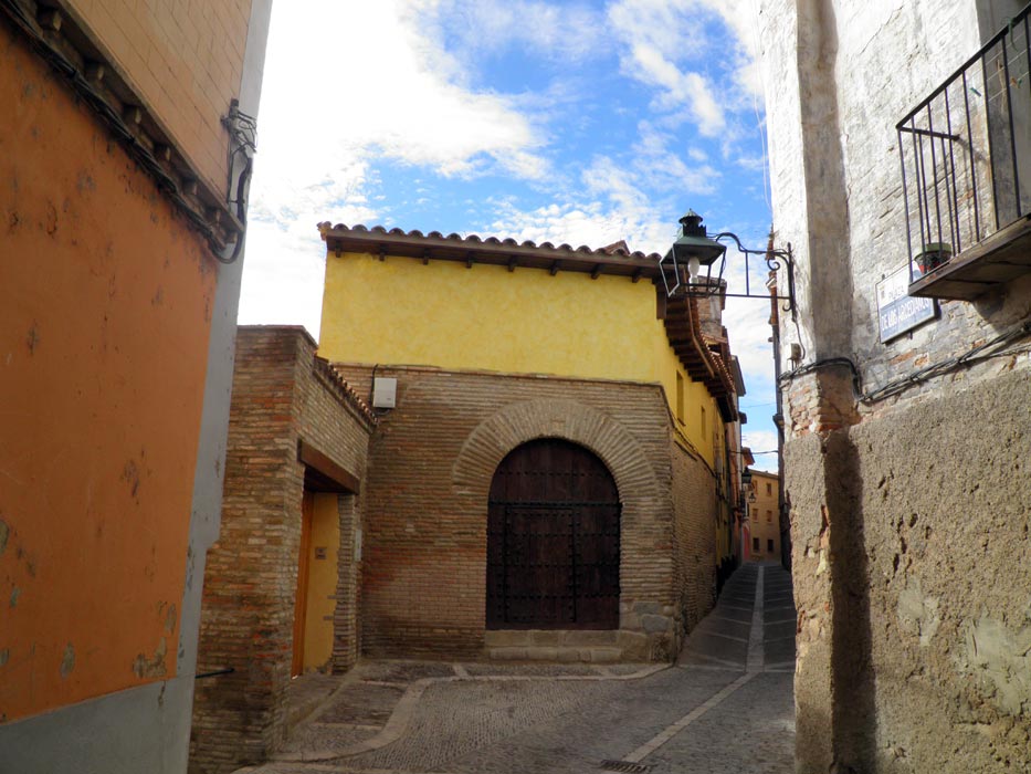
The southern boundary follows the course of the Selcos irrigation ditch on whose left bank was a brick wall or adobe wall coinciding with the rear of the alignment of houses on Baja street. It was accessed from here thanks to a ponticiello or bridge of boards as the irrigation ditch was not covered. The blinded arches of the building which has a façade both on Baja street as well as on Arcedianos square demonstrates that the street level was considerably lower than the current one.